





GeoBox
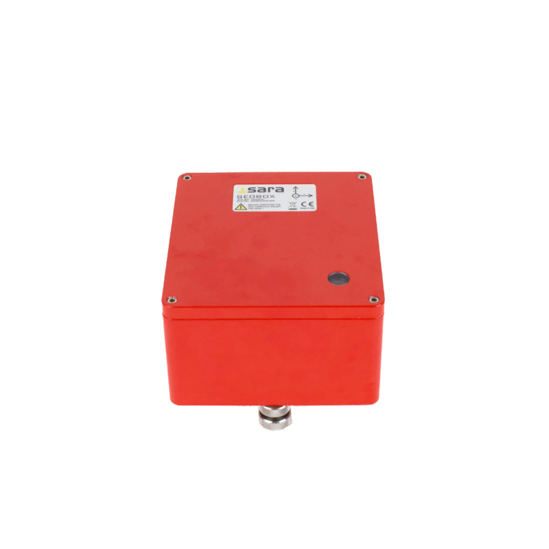
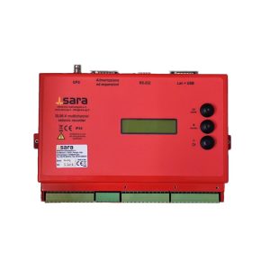
The digital seismograph GeoBox is a high-performance instrument especially suitable for recording signals for seismological and geophysical surveys such as the Horizontal/Vertical Spectral Ratio (HVSR).
The communication protocol is public, software plugins exist for SEISMOWIN, SEISLOG, SEISCOMP and EARTHWORM. The instrument’s features include extreme ease of use, reliability and low power consumption.
The SR04 GeoBox is an instrument based on our SADC20. Designed to reach the highest performance combined with electrodynamics sensor like 4.5Hz to 0.1Hz (SS-45/20 o SS-10/08/02/01) embedded in the instrument, it can be equipped with or without GPS for the synchronization with other instruments.
The instrument is designed for passive seismic survey or structural vibration survey. Compact and reliable, it is ease to use and in few minutes is possible to deploy and set for an acquisition with our software Log-MT (Suite SeismoWIN). The elaboration is even easier with our GeoExplorer HVSR (Suite GeoExplorer).
APPLICATIONS
The GeoBox is designed for engineering vibrational survey, modal analysis ed HVSR.
| Brands | Sara Electronic instruments |
|---|---|
| Number of channels | 3 with 24 bit A/D converter (SD) |
| Sensors | 4.5, 2, 1, 0.5, 0.2 and 0.1Hz |
| Dynamic range | 124dB (144dB, 24 bit of ENOB, between 0.1 and 10Hz) |
| Sensibility | with 4.5Hz: < 1 nm/s per count |
| Sampling | simultaneous on all three channel (1 A/D per channel) |
| Sampling rates | from 10 to 1500 Hz |
| Real Time Clock | +/-10ppm (-20/+50°C) |
| Sync R.Time Clock | GPS based via PPS (on request) |
| Data format | .SAF, .DRM, .GSE |
| Baud rate | 115200 and 230400 baud |
| Case | Solid block of aluminum with IP66 protection grade |
| Dimensions | 155x140x110 |
| Weight | 3.1 kg With 4.5Hz sensors, 4.4kg with 2Hz sensors |
Related products
GEOEXPLORER
In stock
SEISMOWIN
In stock
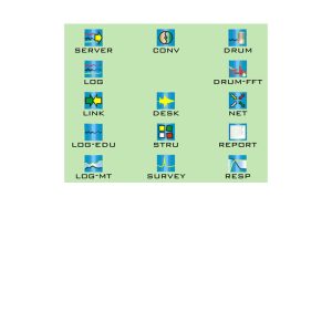
The SEISMOWIN project consists in a suite of software that can be used for seismological, geophysical and engineering purpose. The launcher, that can be download from this page, automatically installs all the modules shown in this page, keeps them updated and gives the possibility to download the manuals.
SA-10
In stock
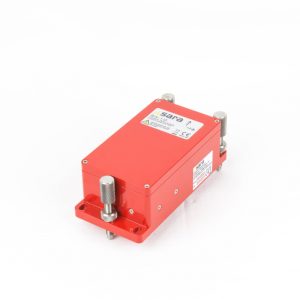
SA10 is a true force balance accelerometer (FBA) designed for seismic or industrial application suitable for both weak or strong motion monitoring. The sensor is entirely designed in our laboratory and it offers an excellent dynamic range, compactness and sensitivity, that make this sensor one of the best products available in the international market.
SS08C
In stock
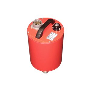
SS08C is a portable, compact, broad-band, triaxial sesimometer designed for quick and simple installation, wide temperature operations and safe transport. It uses the symmetric architecture recovering Z,Y,X velocity signal from U,V,W homogeneous transducers. This methodology allows higher precision in reconstruction of real ground motion.
Digital Array
In stock
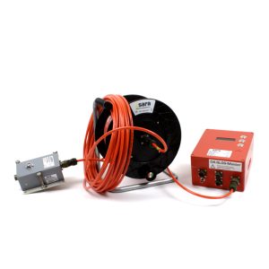
The Digital Array (DA) is a modular high-speed real-time network system composed of a number of mono-, bi- or triaxial
seismographs connected in a high speed bus. An interface connecting to a PC or a complete SL06 recorder equipped with a GPS provides accurate synchronization to the bus and data recording and processing feature. Up to 8 nodes can be connected on the same branch. Several branches can work as data source over the standard TCP/IP bus and SeedLink
protocol.
SS08BH
In stock
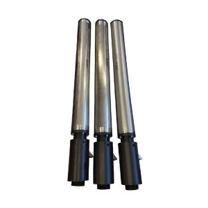
SS08BH is a triaxial broad-band seismometer designed installation in boreholes. This solution offers automatic levelling and motorised hole-lock system, wide temperature operations and safe transport. The sensor uses the symmetric architecture recovering Z,Y,X velocity signal from U,V,W homogeneous transducers; this methodology allows higher precision in reconstruction of real ground motion.
DoReMi downhole
In stock
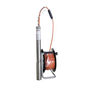
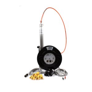
SSBH sensor is a geophysical device designed to measure vibrations in boreholes for DownHole, UpHole and CrossHole
surveys. Made from stainless steel, it is robust and rugged, and can be equipped with 4.5, 8 or 10Hz geophone sensors.
It can be used with any exploration seismograph and, naturally, with all our seismographs, especially the DoReMitm system.
SL06
In stock
Reviews
There are no reviews yet.