

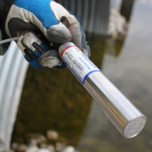
VW SOIL EXTENSOMETER
The GEO-XS VW Soil Extensometer monitors lateral and longitudinal deformation of soil and different types of embankments and embankment dams.
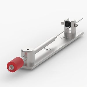
It comprises a displacement transducer connected to an extension rod and fixed between a pair of anchor beams.
Description
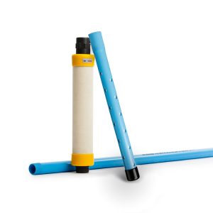
The assembly is housed in and protected by an external telescopic sleeve. To form a ‘Chain Extensometer’, Soil Extensometers are linked together, in series, using the anchor beams as connectors.
The internal sensing element is housed within an outer PVC sleeve which is sealed by O-rings at each end. The sleeve, with telescopic sections with O- ring seals, is extended along the whole length of the rod to the next anchor.
As structural movement occurs, the rod is moved within the housing. The shaft movement changes the tension in the sensor spring which, in turn, changes the tension in the Vibrating Wire.
Different combinations of anchor spacing (Gauge Length) and sensor range can we used to provide an optimum sensing accuracy and range. i.e. for maximum strain resolution, a shorter transducer length will provide the best results. For maximum deformation, use a longer transducer or a shorter gauge length.
Additional information
| Brands | |
|---|---|
| Gauge Length |
1m |
| Extension Kit |
1m |
| Sensor Range |
100, 150, 200, 300, 500mm |
| Accuracy |
+/- 0.10 % |
| Resolution |
0.025% FS |
| Non Linearity |
0.5% FS |
Reviews (0)
About brand
Geosense Ltd is one of Europe’s leading manufacturers and suppliers of instruments to the geotechnical, civil engineering, mining and environmental industries.
Geosense products are used globally in major projects in more than 68 countries. With a comprehensive in-house design and manufacturing capability, we can provide products not only to tight deadlines but also to suit custom-engineered solutions for specific project requirements.
Geosense specialises in the manufacture of vibrating wire and MEMS sensors, which are used to produce a wide range of instruments. In addition we manufacture automated data acquisition systems to complement our sensors, including wireless systems.
Data Sheets
Related products
BOREHOLE ROD EXTENSOMETER
In stock
The Geosense® GEO-XB2 borehole rod type extensometer range is used to measure and locate settlement, displacement and deformation in soil and rock.
It consists of a reference head and one or more in-hole anchors each of which is placed at a known depth and connected to the reference head by either a rigid or flexible rod running inside a flexible sleeve, which keeps the rod de-bonded from the grout.
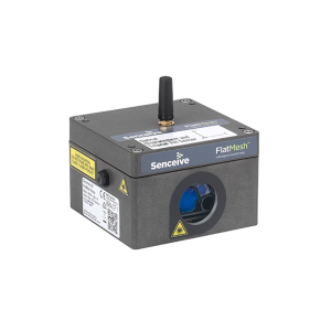
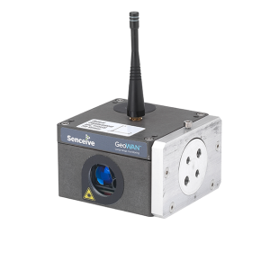
OPTICAL DISPLACEMENT SENSOR NODE
In stock
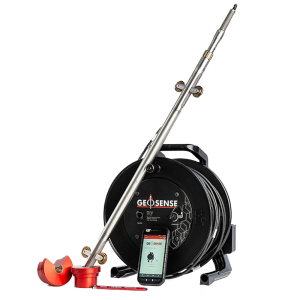
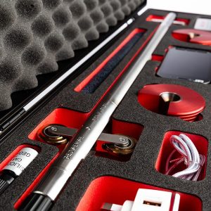
PORTABLE MEMS INCLINOMETER
In stock
The MEMS Portable Inclinometer system utilises modern communication and Smart devices to enable the tilt data generated by the probe to be managed, stored and transferred directly from site via FTP, API, email or other communication platforms.
It is available for vertical, inclined and horizontal applications.
DIGITAL PIEZOMETER – dPiezo
In stock
STANDPIPE PIEZOMETER
In stock
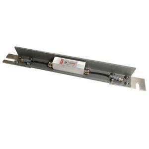
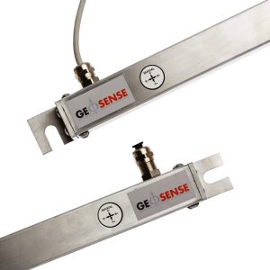
TILT BEAM MEMS
In stock
MEMS Tilt Beams are designed for attachment to structures, on either a vertical or horizontal surface, for the measurement of tilt or differential settlement.
They consist of a highly accurate MEMS sensor housed in a fully sealed enclosure which is mounted on a lightweight rigid GRP beam. This can be mounted onto the structure using special anchors. The GRP beam has a very low coefficient of thermal expansion meaning that thermal affects are minimised.
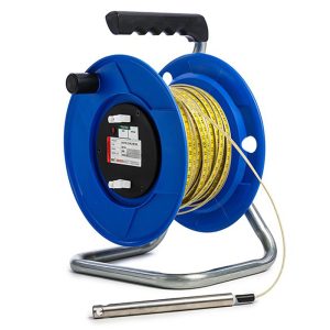
WATER LEVEL METER
In stock
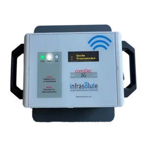
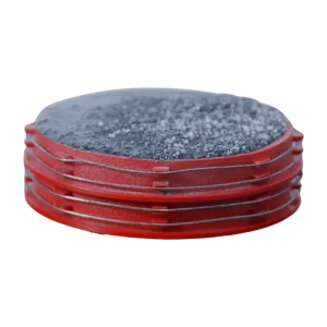
HUMIDITY & CORROSION (CorroDec®2G)
In stock
The structural infrastructure must always meet requirements such as performance, stability and durability. These requirements will have a lasting effect on our mobility in the future. The corrosion risk and the corrosion activity of the reinforcing steel largely define these requirements and are determined by various impact and material parameters.
Reviews
There are no reviews yet.