

WEIR MONITOR VWM-2000
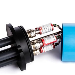
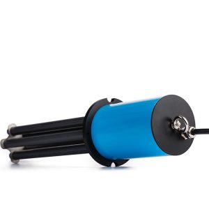
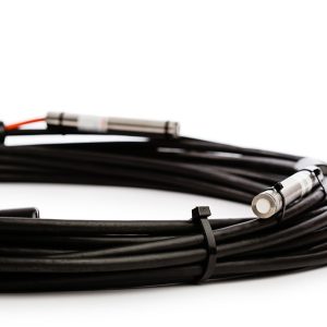
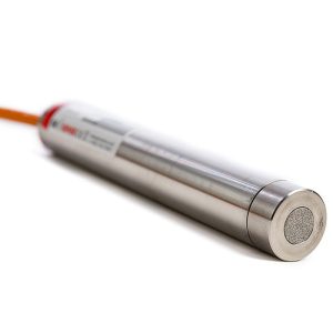
The Geosense® VWM-2000 vibrating wire precision water level monitor utilises a vented vibrating wire force transducer in combination with a cylindrical weight suspended from it to monitor water levels.
The vibrating wire transducer is vented to atmosphere so that any atmospheric changes are automatically compensated.
Description
The transducer and weight are contained within a PVC slotted pipe which can be located within the weir or tank as necessary and the vent tube is terminated within a moisture trap. Periodic change of the desiccant is required.
The cylindrical weight is partially suspended in the water level being monitored and as the water level changes the force on the transducer by the cylinder alters which in turn alters the tension of the vibrating wire.
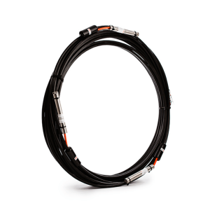
As with all vibrating wire sensors, the output is frequency and therefore not affected by changes of cable resistance and therefore extremely long cable lengths are possible.
Additional information
| Brands | |
|---|---|
| Standard ranges |
150, 300,500, 1500mm |
| Resolution |
0.025% FS |
| Accuracy |
±0.1% FS |
| Operating temperature range |
-20°C to +80°C |
Reviews (0)
About brand
Geosense Ltd is one of Europe’s leading manufacturers and suppliers of instruments to the geotechnical, civil engineering, mining and environmental industries.
Geosense products are used globally in major projects in more than 68 countries. With a comprehensive in-house design and manufacturing capability, we can provide products not only to tight deadlines but also to suit custom-engineered solutions for specific project requirements.
Geosense specialises in the manufacture of vibrating wire and MEMS sensors, which are used to produce a wide range of instruments. In addition we manufacture automated data acquisition systems to complement our sensors, including wireless systems.
Data Sheets
Related products
BOREHOLE ROD EXTENSOMETER
In stock
The Geosense® GEO-XB2 borehole rod type extensometer range is used to measure and locate settlement, displacement and deformation in soil and rock.
It consists of a reference head and one or more in-hole anchors each of which is placed at a known depth and connected to the reference head by either a rigid or flexible rod running inside a flexible sleeve, which keeps the rod de-bonded from the grout.
MULTI-POINT VW PIEZOMETER
In stock
STRAIN GAUGE PIEZOMETER SGP-3400 SERIES
In stock
The SGP-3400 Series of strain gauge piezometers are designed for monitoring soil pore pressure or changes in water level and are also suitable for dynamic monitoring such as pumping tests.
They are accurate, highly-reliable and suitable for use in the harsh environments often found within civil engineering including water wells, boreholes, dams, reservoirs, rivers, tanks or any other body of water.
PRESSURE TRANSDUCER VWT-9000 SERIES
In stock
The Geosense® VWT-9000 Series of Pressure Transducers are designed to be connected directly into hydraulic or pneumatic pressure lines by means of a 1/4” BSPF thread. Other thread sizes are available on request.
They are typically used to monitor uplift pressures within dams and to enable manual standpipe piezometers to be upgraded into an automated data acquisition system.
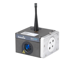
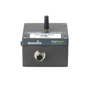
OPTICAL DISPLACEMENT SENSOR NODE
In stock
TRIAXIAL TILT SENSOR NODE
In stock
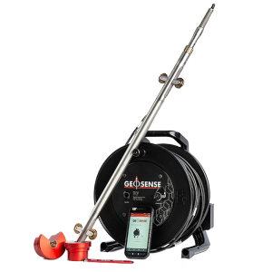
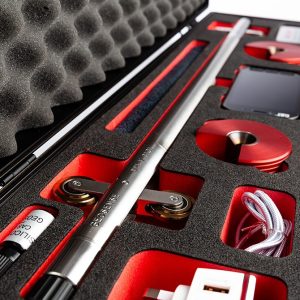
PORTABLE MEMS INCLINOMETER
In stock
The MEMS Portable Inclinometer system utilises modern communication and Smart devices to enable the tilt data generated by the probe to be managed, stored and transferred directly from site via FTP, API, email or other communication platforms.
It is available for vertical, inclined and horizontal applications.
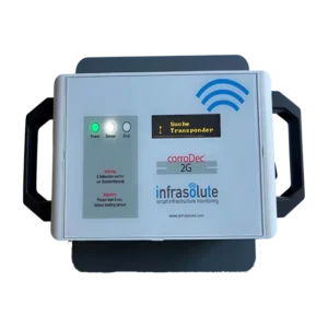
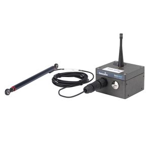
HUMIDITY & CORROSION (CorroDec®2G)
In stock
The structural infrastructure must always meet requirements such as performance, stability and durability. These requirements will have a lasting effect on our mobility in the future. The corrosion risk and the corrosion activity of the reinforcing steel largely define these requirements and are determined by various impact and material parameters.
Reviews
There are no reviews yet.