

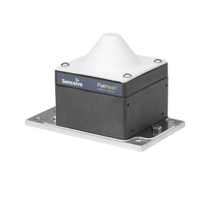
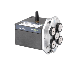
ML-GPS
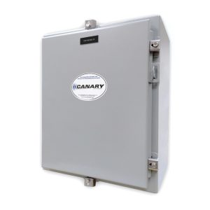
The Canary Systems® MLGPS® integrates a multi-function GPS module into a turnkey power control, battery charging and communications platform, specifically designed for geotechnical and structural monitoring applications. It is available in two cost-effective variants: a portable version for quick deployments, and a fixed version for permanent deployments. All MLGPS units feature a NEMA rated enclosure including battery and solar panel.
MLGPS uses differential GPS to achieve its high precision. The precision GPS receiver is able to track GPS L1 and GLONASS L1 signals. An optional upgrade allows for additional constellations such as Galileo, BeiDou-3, QZSS, and IRNSS, as well as expansion up to 555 channels. Precisions range from 2.5 mm (0.1 in) to 25 mm (1 in).
Description
MLGPS units ship with a 32GB SD card already inserted into the MLGPS module. The SD card allows the unit to collect and store raw data and utilize Offline Mode for more than 300 days of offline storage. This is ideal for units in remote locations with unreliable Wi-Fi connectivity.
MLGPS is capable of reading its own panel temperature, humidity, and recording the status of a switch closure input. Several status LEDs are used for reporting basic system operations including power, charge, GPS status, LAN link, and LAN active. The system integrates a smart lead-acid battery charge controller for the 12V battery. MLGPS can also perform firmware updates over a network, making system updates very simple to manage.
Additional information
| Brands |
|---|
Reviews (0)
About brand
Canary develops a web-based software platform that aggregates geotechnical/geomechanical data from numerous sources into a single platform that provides analytics and other tools including automated alarming and reporting. Canary also develops and sells electronic hardware consist of Dataloggers, Data acquisition systems & Multiplexers for a variety of applications related to weather, water, energy, gas flux and turbulence, infrastructure, and soil.
Data Sheets
Related products
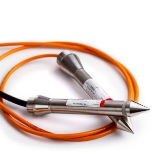
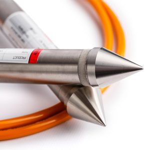
IPX IN-PLACE EXTENSOMETER
In stock
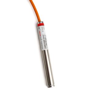
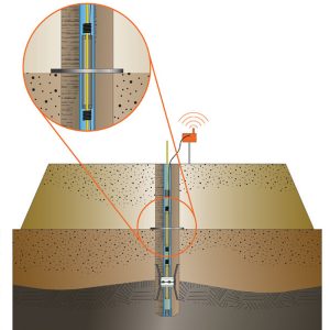
The In-Place Extensometer (IPX) offers automated monitoring of standard magnetic extensometer installations. The system is designed for a simple, adaptable installation with a single cable connection at the top of the borehole. Its large measurement range accommodates large levels of settlement or heave, and ease of adjustment means it can be reconfigured for changed site conditions such as embankment filling or cutting.
DRIVE-IN PIEZOMETERS WP-3400 & SGP-3500 SERIES
In stock
Drive-in piezometers, also referred to as push-in piezometers, are designed for installing in soft clays, organic or fine grained cohesionless soils typically with a SPT-N value less than 10. They are available with a CPT fitting or 1” BSP thread.
Depending on the depth and type of soil, they can either be pushed directly into the soil from ground level to the required depth or pushed into the base of a CPT test or drilled borehole.
TRIAXIAL TILT SENSOR NODE
In stock
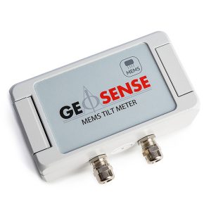
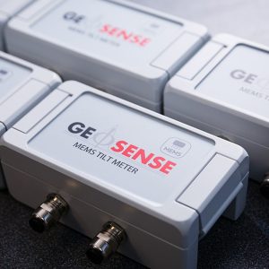
IN-PLACE TILT METER MEMS
In stock
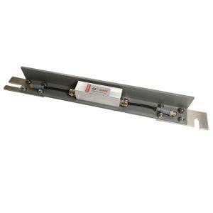
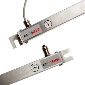
TILT BEAM MEMS
In stock
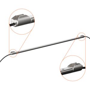
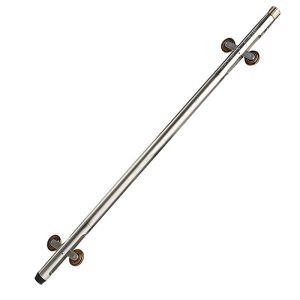
MEMS Tilt Beams are designed for attachment to structures, on either a vertical or horizontal surface, for the measurement of tilt or differential settlement.
They consist of a highly accurate MEMS sensor housed in a fully sealed enclosure which is mounted on a lightweight rigid GRP beam. This can be mounted onto the structure using special anchors. The GRP beam has a very low coefficient of thermal expansion meaning that thermal affects are minimised.
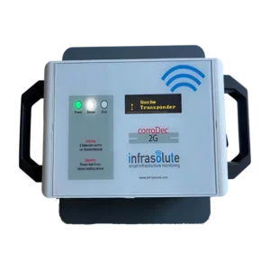
HUMIDITY & CORROSION (CorroDec®2G)
In stock
The structural infrastructure must always meet requirements such as performance, stability and durability. These requirements will have a lasting effect on our mobility in the future. The corrosion risk and the corrosion activity of the reinforcing steel largely define these requirements and are determined by various impact and material parameters.
INCLINOMETER CASING XC
In stock
INCLINOMETER SPIRAL SENSOR
In stock
Reviews
There are no reviews yet.