


![rain[e]H3](https://terrasense.ae/wp-content/uploads/2023/11/raineH3-300x300.jpg)

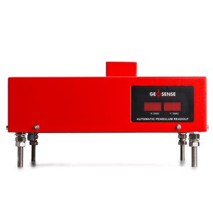
AUTOMATIC PENDULUM READOUT TP-2000 SERIES
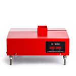
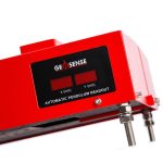
The Geosense TP-2000 Series is a readout device specifically designed to automatically measure and record relative movements of normal and inverted pendulums. It is housed in a robust waterproof housing and is simple to install using a special mounting plate.
It can be installed as part of a complete new system or be retro-fitted as part of an upgrade to an existing manual system.
Measurements are obtained using highly sensitive and accurate CCD technology which converts the data with temperature correction into either an analogue or digital signal which can be transmitted to a remote data logger. Data can also be stored and read locally with an additional LED display.
Description
The Geosense TP-2000 Series is available in three models:
- Model Range
- TP-2D-2001 50 x 50mm
- TP-2D-2002 50 x 100mm
- TP-3D-2003 50 x 100 x 50mm
Additional information
| Brands | |
|---|---|
| Standard Ranges |
(X axis) 0 to 50mm; (Y axis) 0 to 50mm, 0 to 100mm; (Z axis) 0 to 50mm |
| Resolution |
0.01mm |
| Accuracy |
± 0.05mm |
| Repeatability |
±0.1mm |
| Communication Method |
4-20mA, RS-485 |
| Display |
4-digit LED |
| Data Storage |
2000 data sets, 1200 data sets |
| Power Supply |
85-265 VAC, 50-60 Hz |
| Operating Temperature |
-15°C to +60 °C |
| Operating Humidity |
100% relative humidity |
| Protection |
IP65 |
Reviews (0)
About brand
Geosense Ltd is one of Europe’s leading manufacturers and suppliers of instruments to the geotechnical, civil engineering, mining and environmental industries.
Geosense products are used globally in major projects in more than 68 countries. With a comprehensive in-house design and manufacturing capability, we can provide products not only to tight deadlines but also to suit custom-engineered solutions for specific project requirements.
Geosense specialises in the manufacture of vibrating wire and MEMS sensors, which are used to produce a wide range of instruments. In addition we manufacture automated data acquisition systems to complement our sensors, including wireless systems.
Data Sheets
Related products

VW PIEZOMETER VWP-3000 SERIES
In stock
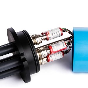
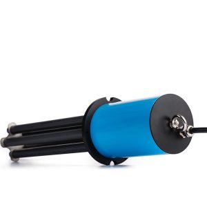
BOREHOLE ROD EXTENSOMETER
In stock
The Geosense® GEO-XB2 borehole rod type extensometer range is used to measure and locate settlement, displacement and deformation in soil and rock.
It consists of a reference head and one or more in-hole anchors each of which is placed at a known depth and connected to the reference head by either a rigid or flexible rod running inside a flexible sleeve, which keeps the rod de-bonded from the grout.
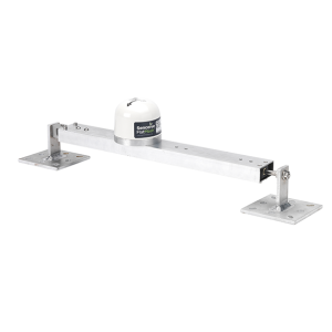
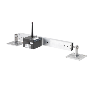
TILT BEAM
In stock
The Tilt Beam is a lightweight, rigid aluminium beam that is used in conjunction with a Triaxial Tilt Node, a NanoPlus or a NanoMacro.
The tilt beam has been successfully used in many applications, including:
- Movement monitoring of any structure
- Longitudinal settlement
- Tunnel convergence/divergence
- Lateral displacements
DIGITAL PIEZOMETER – dPiezo
In stock
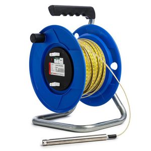
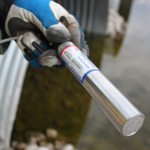
WATER LEVEL METER
In stock
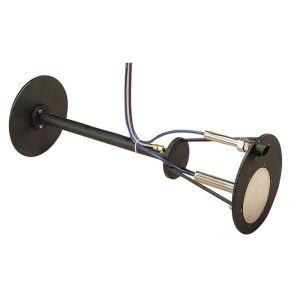
PENDULUM SYSTEM
In stock
HPS-3500 (Hanging) and IPS-3000 (Inverted) Pendulums are used to measure the tilt or rotation by measuring the relative internal horizontal displacement of points along a true vertical line. Each has a tensioned, stainless steel wire and the effects of the earth gravitational forces to guarantee a perfectly vertical line between a fixed point and a tensioning mechanism. Typical applications include concrete dams, bridges and high rise buildings.
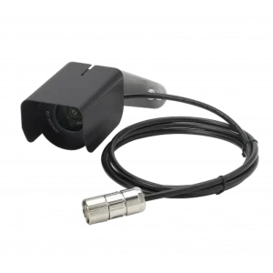
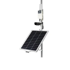
IMAGING & CAMERA
In stock
The FlatMesh 4G Camera is a best in class solar powered solution for static imagery in remote or industrial areas.
It contains a monochrome digital camera which can take clear, high quality photographs day or night without the use of external illuminators.
The 4G camera connects to a Senceive EdgeHub (with FlatMesh) unit which provides power and connectivity over the cellular network (2G/3G/4G) or existing wired ethernet networks.
INCLINOMETER CASING XC
In stock
Reviews
There are no reviews yet.