


NEXUSGEO
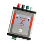
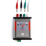
The NexusGEO® is a Bluetooth Interface which can be used to connect a wide range of sensors with analogue or RS-485 digital outputs to an Android smart device for manual readout. This means data can easily be accessed on site by any Android device such as a smartphone or tablet.
Specially-developed by Geosense, it is designed to offer interoperability between sensors and the chosen Android device. This enables the user to benefit from the increased processing capability and connectivity of a smart device over a standard readout.
The user can simply read and store data or read, store and transmit it via a mobile network.
Description
The NexusGEO® App makes it possible to download raw data or acquire calibration factors from the sensor which can then be used to convert the data into engineering units. All data can then be downloaded as a CSV file either locally onto the Android device or synchronised to a central database.
Colour-coded connections for the different analogue sensor types plus a simple digital connector makes the NexusGEO® easy to use. It comes complete with battery charger and colour coded ‘jumper cables’ complete with crocodile clips.
The NexusGEO® can be used on any Android device, such as the affordable rugged CAT S42 which is available from Geosense.
Additional information
| Brands | |
|---|---|
| Signal inputs |
VW (Hz), mA, V, mV/V, Pt100, NTC, RS-485 |
| Measurement resolution |
24 bit, 0.1Hz for VW |
| Display |
Android device |
| Enclosure |
IP65 |
Reviews (0)
About brand
Geosense Ltd is one of Europe’s leading manufacturers and suppliers of instruments to the geotechnical, civil engineering, mining and environmental industries.
Geosense products are used globally in major projects in more than 68 countries. With a comprehensive in-house design and manufacturing capability, we can provide products not only to tight deadlines but also to suit custom-engineered solutions for specific project requirements.
Geosense specialises in the manufacture of vibrating wire and MEMS sensors, which are used to produce a wide range of instruments. In addition we manufacture automated data acquisition systems to complement our sensors, including wireless systems.
Data Sheets
Related products
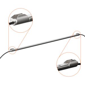
IPX IN-PLACE EXTENSOMETER
In stock
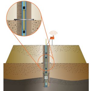
The In-Place Extensometer (IPX) offers automated monitoring of standard magnetic extensometer installations. The system is designed for a simple, adaptable installation with a single cable connection at the top of the borehole. Its large measurement range accommodates large levels of settlement or heave, and ease of adjustment means it can be reconfigured for changed site conditions such as embankment filling or cutting.
VWPHT-3600 SERIES
In stock
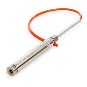
The VWPHT-3600 series High Temperature Piezometers are suitable for the extreme environments of temperature and pressure found within applications such as geothermal heat and enhanced oil recovery systems including steam assisted gravity drainage (SAGD) and cyclic steam stimulation (CSS). They are capable of monitoring high temperatures up to 250°C and pressures up to 34.5 MPa.
DRIVE-IN PIEZOMETERS WP-3400 & SGP-3500 SERIES
In stock
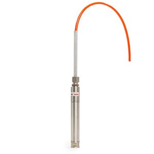
Drive-in piezometers, also referred to as push-in piezometers, are designed for installing in soft clays, organic or fine grained cohesionless soils typically with a SPT-N value less than 10. They are available with a CPT fitting or 1” BSP thread.
Depending on the depth and type of soil, they can either be pushed directly into the soil from ground level to the required depth or pushed into the base of a CPT test or drilled borehole.
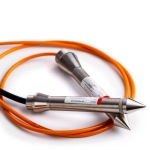
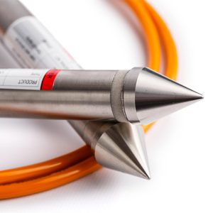
OPTICAL DISPLACEMENT SENSOR NODE
In stock
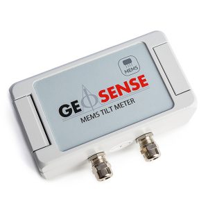
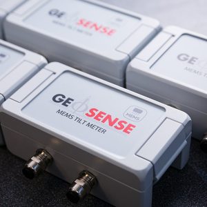
IN-PLACE TILT METER MEMS
In stock
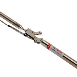
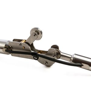
IN-PLACE INCLINOMETER (IPI)
In stock
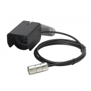
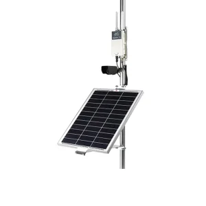
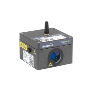
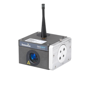
IMAGING & CAMERA
In stock
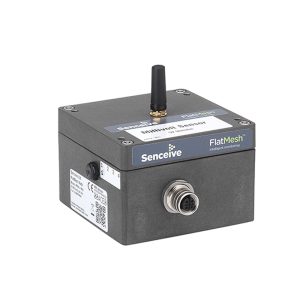
The FlatMesh 4G Camera is a best in class solar powered solution for static imagery in remote or industrial areas.
It contains a monochrome digital camera which can take clear, high quality photographs day or night without the use of external illuminators.
The 4G camera connects to a Senceive EdgeHub (with FlatMesh) unit which provides power and connectivity over the cellular network (2G/3G/4G) or existing wired ethernet networks.
INCLINOMETER CASING XC
In stock
Reviews
There are no reviews yet.